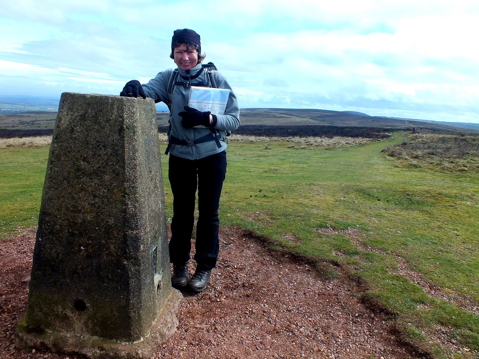
Last weekend saw me doing my supported assessment for the DofE. Alan Conway was my assessor for the weekend in the Yorkshire Dales. Alan set me off with a gold group on thier practice. They were doing this though his company ACActive. Alan set this up early this year running DofE expeditions and outdoor walking.
The weekend did not have the best weather for us and the poor young people had the same weather on a training weekend few weekes early. I spent the time checking on the group a diferent points and watching them from a distance. We did have time to do some sort trail runs while checking on them. PLus bagging a couple of cafes for a bacon butty.
By the end of the weekend Alan was happy with my asseeement and filled in the forms for may pass. This now let me be a DofE Accredited Assessor upto gold level. I can now do this for the local open award centre that I have been a volunteer for the last few years. Plus I can now help Alan out at ACActive.
Overall I had a great brunch of youg people on the weekend who was great to work with. Hoping they get better weather for their final.
Sunday 24 June 2012
Am Faochagach 954m

This was going to be our final munro of the week. The
weather forecast had changed again and we knew it would change later in the
day. So about 30 min drive got us to the car park on the A835 next to Loch
Glascarnoch. Small car park for about 8 cars.

We set off over the stile and a good path across peat, which
with the good weather was dry. We then came to the river which we had to cross.
It took us a bit of searching looking for a good set of rock to cross. Some
were covered in a green slime which was slippery or lets lethal. We were lucky
that the river was not in spate.
 From here we headed round a mound to find the burn heading
up hill. All we had to do was follow this all the way to the col. On route
picking and losing the path until the final half hour where the path was not
faint.
From here we headed round a mound to find the burn heading
up hill. All we had to do was follow this all the way to the col. On route
picking and losing the path until the final half hour where the path was not
faint.
We had lunch on the ridge and we noticed the wind had got
little stronger. We now followed the
ridge up to the first hill where it drop again before the final slog to Am Faochagach. The hill is rounded top with many rocks. In
the mist it could be easy to miss the summit. Again we had 360 views of the
hills. We planted a few stones on the cain and made a new sculptor for others
to enjoy.


Another easy munro but with good views.


Fionn Bheinn 933m
50 min drive from Ullapool took us to Achnasheen on the
A832. The weather was good with blue sky
and few clouds. We parked in the station car park. The royal Scotsman train was
in getting ready for its trip.
We crossed the road to find the track that led up the river.
From here we followed the path along a pleasant burn as it went up steadily
onto a peat moorland. We were glad it was dry as this crossing of the moorland
could have been fun if wet. We did find
a few boggy bits but got round them. Soon we were climbing again to reach the
col between Creagan Nan Laogh and Fionn
Bheinn. Ziggy sagging up soon got us onto the ridge where we turned
left to carry on up to the Fionn Bhienn.
The trig point came into sight and we were awarded with 360 fine views.
From the top we retraced our steps along the ridge and
carried onto the end. To where we headed down nice soft grass route to come
behind the forest. We followed this back
to the track we went up.


Sunday 10 June 2012
Eididh nan Clach Geala 928m and Meall nan Ceapraihean 997m


Our second day of munro bagging had us doing another two,
but according to the munro book you could do four. Sometimes I think the books
are writtern by fit walkers.
So our aim was to do two and maybe a third if there was
time. The four hills collectively known as the Dergs and can be got to from the
A835. So we parked up in a small walkers car park, which was busy. We set off
up the track which steadily climbs up to a forest. At the end of the forest we
found few mountain bikes locked up, so another way up is to ride in so
far.
 We came out of the forest on a
good path that led up on the north side of the River Lael. Soon the weather
changes to little rain and a cold wind.
Further on along the path it splits and we take the left fork that will
lead to Lochan a’ Chnapaich. Most
walkers seemed to be heading straight on.
We came out of the forest on a
good path that led up on the north side of the River Lael. Soon the weather
changes to little rain and a cold wind.
Further on along the path it splits and we take the left fork that will
lead to Lochan a’ Chnapaich. Most
walkers seemed to be heading straight on. 


The path climbs height very quickly and our munro comes into
sight. At this point two of our friends return back due to being ill. We carry
on up over rough heather ground to reach the west ridge of Eididh nan Clach
Geala and then the last slog to the stony
summit.


The weather has now cleared up and we have good views back
to Ullapool and Stac Polly can be seen.. We carry on to the next munro and head
down a rocky col to some lochans. Where
we have lunch out of the wind. Trying to find out faint path up. Once we set
off again we find a faint path to lead us across a rocky summit of Meall nan
Ceapraichean. The weather has now improved even more and is roasting. Its now
3pm and we now leave the other two munros for another day as we have a long
walk down we reckon it would add on another 2to 3hours to do the other two.


Plus we will miss the meal out. So we had for the col where turn and pick a
good path back down following the river back to the cars. It was at the col
where we saw more walkers then we had all day and we thought that most was
doing two or three munros and leaving the one we did first for another day. It
was a good path all the way down passing some lovely small waterfalls. Plus a
small frog that jump out onto the path.


Sgurr Breac and A' Challeach

Our first munros were Sgurr Breac and A’ Challeach. We started from a layby on the A832 near the
eastern end of Loch a’ Bhraoin. The
weather was good as we followed the track towards a new path though the woods.
This led us up the path following Alt Breabaig to the col. As we followed the
river with its many little falls, we could see a large heard of deer to our
right. Soon they knew we were there and moved on.


 At the col we then headed up steeply to our first munro. As
we got to the top the cloud had come down behind us and what we thought was
rain was snow. With luck this did not reach us but the far hills had a light
dusting. From here we had to drop down and up to Tomain Coinich before going
upto our second munro A’ Chaillech..
At the col we then headed up steeply to our first munro. As
we got to the top the cloud had come down behind us and what we thought was
rain was snow. With luck this did not reach us but the far hills had a light
dusting. From here we had to drop down and up to Tomain Coinich before going
upto our second munro A’ Chaillech.. 


Ullapool

We just been to Ullapool for a week with some friends. Staying in a 4 bedroom house in the centre of Ullipool. The house is in a cul d sac and plenty of room inside. With off road parking. The plan is do as many munro we can.
Ullapool makes a good base as its not too far from good walking areas. From munros to coast walks. The town has all what you need. Even is one shop is a Tesco. Plenty of choice to get meals but a few places do not let you book. Its on a first come first serve.


The Quantocks

When we were down in Cheddar we over to The Quantocks. It was about 35mins drive from Cheddar and we did about a 8 mile walk.


 Highest ridge is 384m and you can see views over the
Bristol Channel, Exmoor, Dartmoor and the Brecon Beacons. The area is similar
to Exmoor or North York moors. Below you will find the map of the walk and
photos from the walk.
Highest ridge is 384m and you can see views over the
Bristol Channel, Exmoor, Dartmoor and the Brecon Beacons. The area is similar
to Exmoor or North York moors. Below you will find the map of the walk and
photos from the walk.


Subscribe to:
Posts (Atom)